


Maine - Guide Book and Maps
Regular price
$29.95
Regular price
$0.00
Sale price
$29.95
Unit price
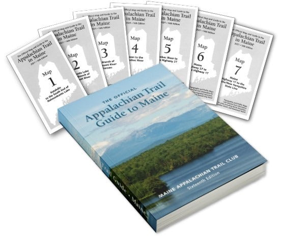
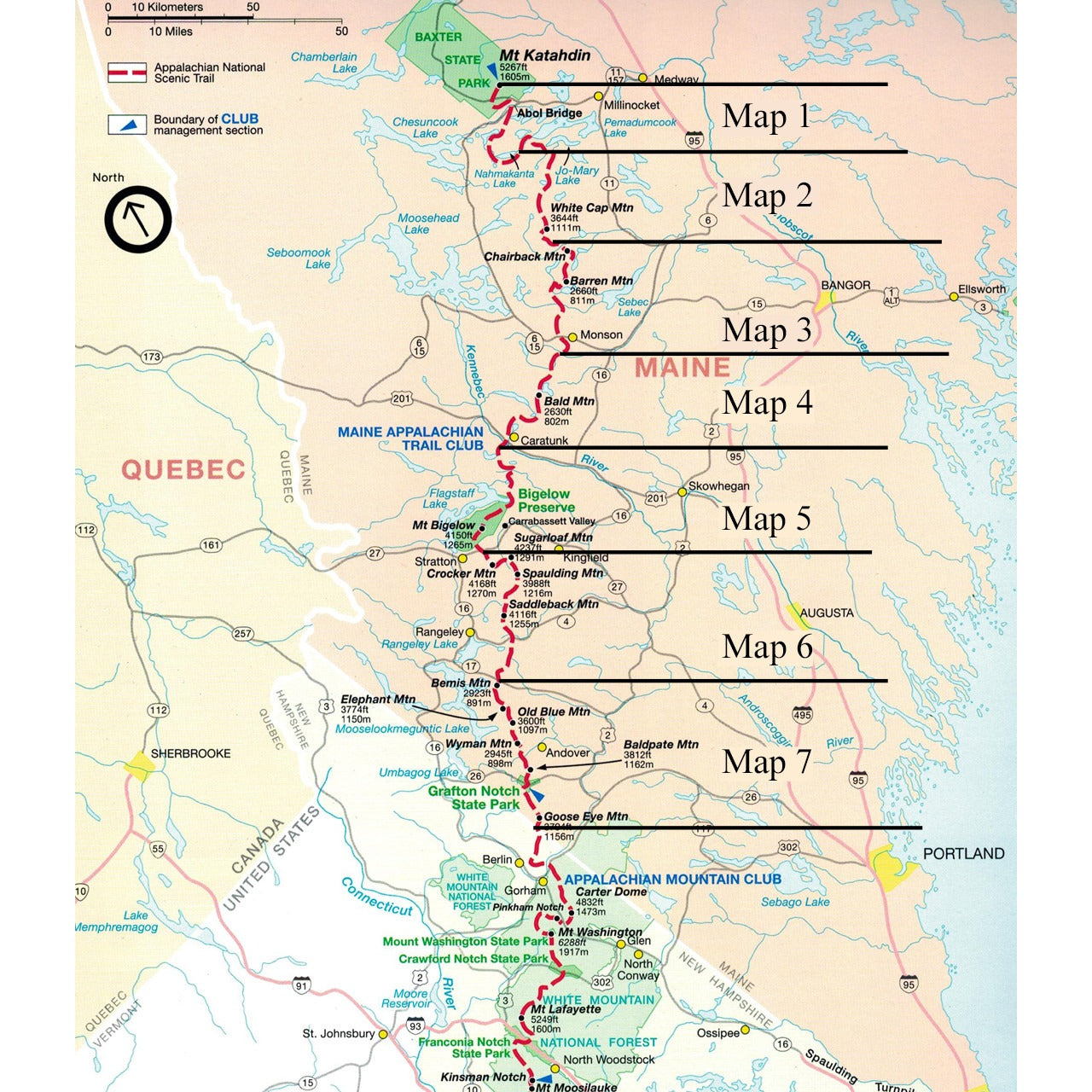
The Maine edition covers 282 miles from Katahdin in Baxter State Park to the New Hampshire state line in one planning guide and seven water- and tear-resistant maps. The pocket-sized planning guide contains background information, points of interest, and road-access directions. Each map is focused on the Appalachian Trail and overlaps with the neighboring maps. The surrounding area and additional side trails are also included. An easy-to-use elevation profile shows the ups and downs and the distance to the next campsite or shelter, side trails, and water sources.
UPC: 9781889386669
SKU: 101851A-N/A


